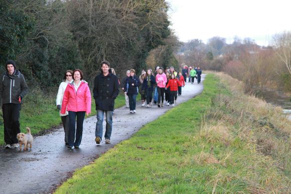
These are some locals walking the length of the remnants of The Coalisland Canal. The total distance of the canal walk is 4.5 miles beginning at the Cornmill in Coalisland town centre and reaching the Point where the canal feeds into the Blackwater River.
It has three sections after about 1 mile walkers cross the Gortgonis Road at Macks bridge to access the second section of the walk. A further half mile along this pathway will lead to the busy Moor road at McAliskeys lock, once again you must cross this road to connect to the last part of the walk, the final 3miles will lead to the Reenaderry Road where the canal path ends , this is known as The Point where the canal meets the Blackwater river. The Canal was opened in 1789 to bring coal from Coalisland to Dublin via the River Blackwater, Lough Neagh and Newry Canal. Coalisland acted as an inland port with lighters carrying grain for the mills and provisions for the surrounding towns. Local campaigners have worked to try and preserve or reinstate the canal.

